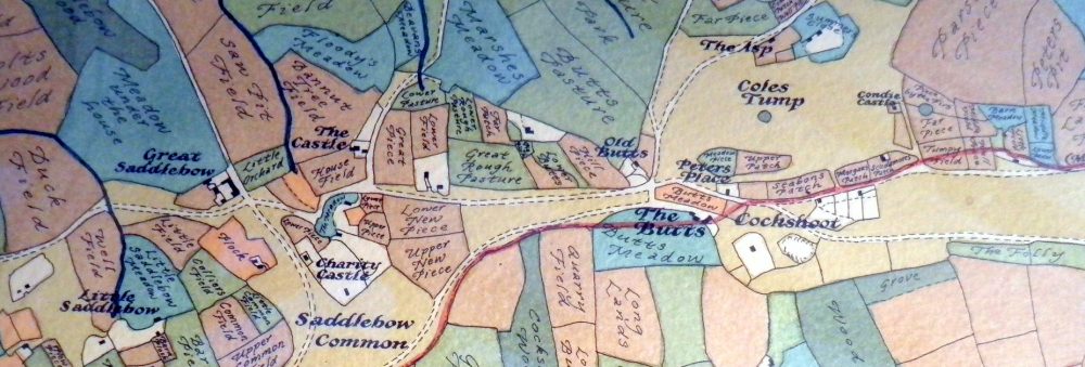
The header of the blog shows a modern reproduction of the 1842 parish enclosure map of my area, recording how the land was divided and used at that time.
It offers a glimpse into a world where localism was not an idea but a way of life. Each field had its own name, often drawn from the families who farmed it, the crops it bore, or some feature of the land itself. These names formed part of the shared language of the community, a map of both land and memory.
Today, those names have vanished from everyday use, and with them much of the local identity they once expressed. Yet as we face the decline of the industrial economy and the return of more local ways of living, these old maps remind us how closely life was once tied to the land and to one another.
The house next door to ours was then known as Peter’s Place. It still exists, much modified. The red line is the parish boundary boundary at that time.